
Bridge Road is a shopping street in Richmond. It can be better for business by becoming the core of a 20-minute neighbourhood where local residents regularly visit, shop and linger.
Problems
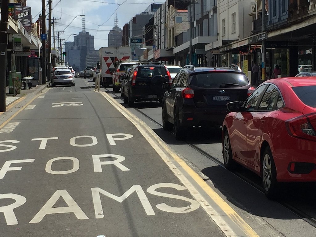
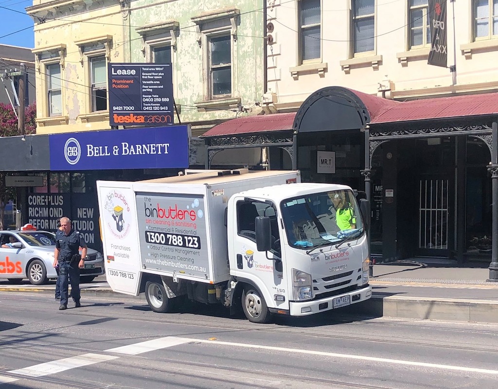
Bridge Road is going through a transition – low cost clothing outlets are shutting down and new entrants are focussing on offering services that can attract regular repeat patronage from local residents. Another problem is that drivers keep knocking away the guidance bollards on the elevated tram stops, and some drivers fall off the exposed edges of the tram stops.
Opportunities
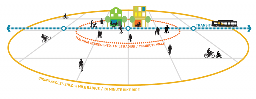
Bridge Road can attract more patronage becoming the core of a 20-minute neighbourhood:
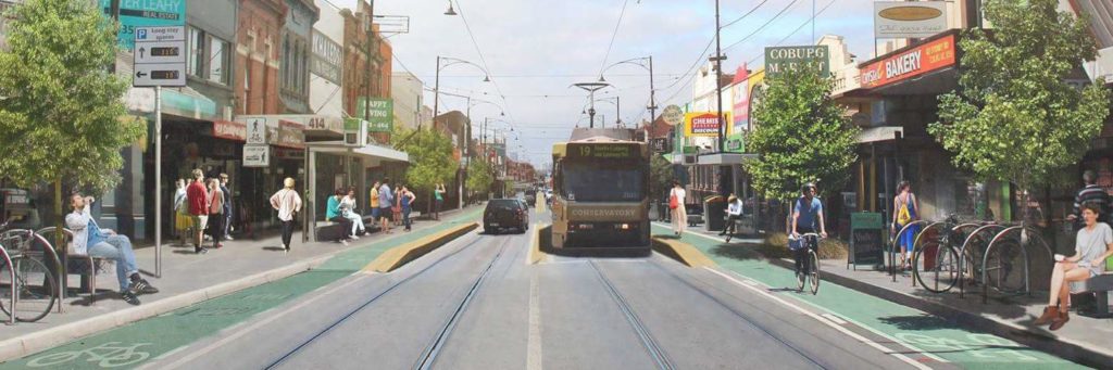
Bridge Road can be revitalised by widening the footpaths, installing separated bicycle lanes and building level-access tram stops. On-street parking for shoppers can be increased by relocating bays to the first 5-10 spots on each side street, with the first spot reserved for deliveries.
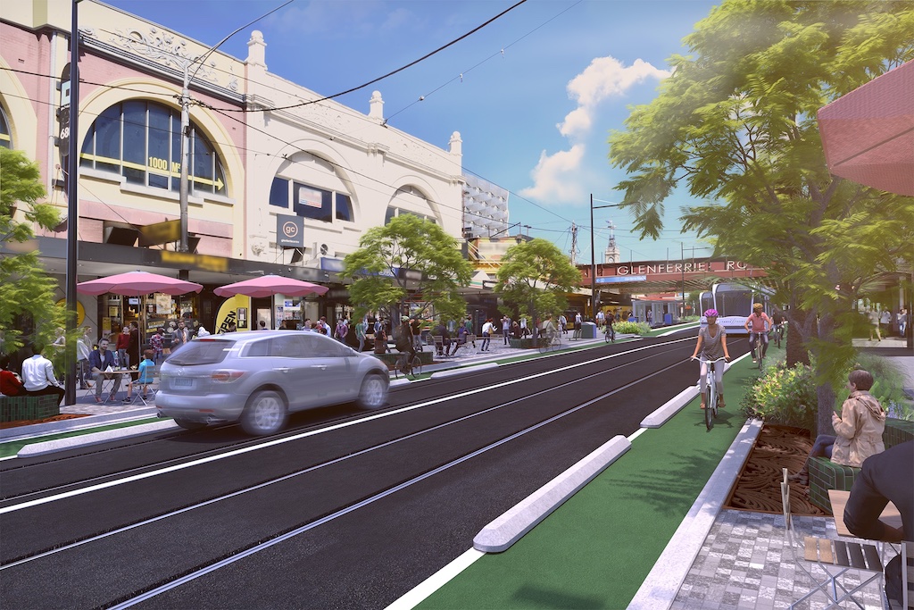
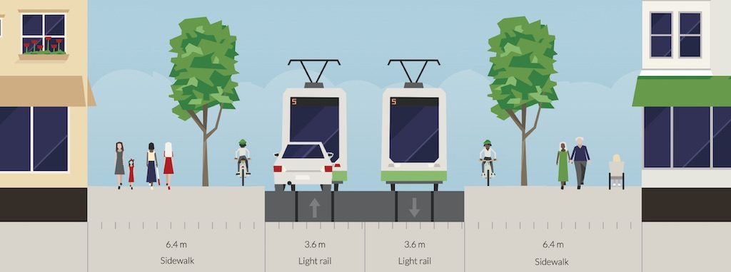
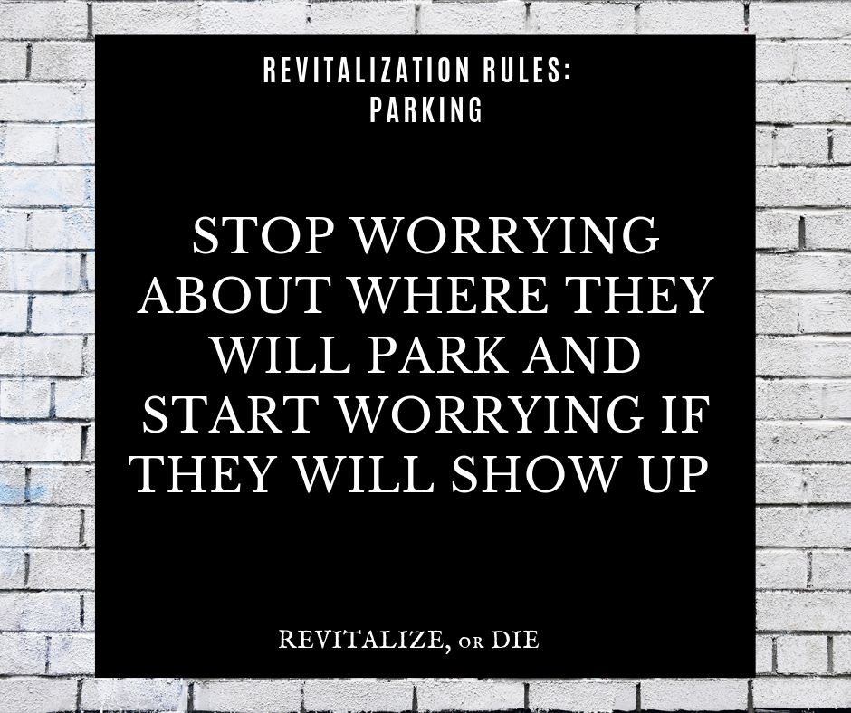
The key is to understand that on-street parking isn’t the answer – if Bridge Road is attractive then people will find a way to get there.
Example
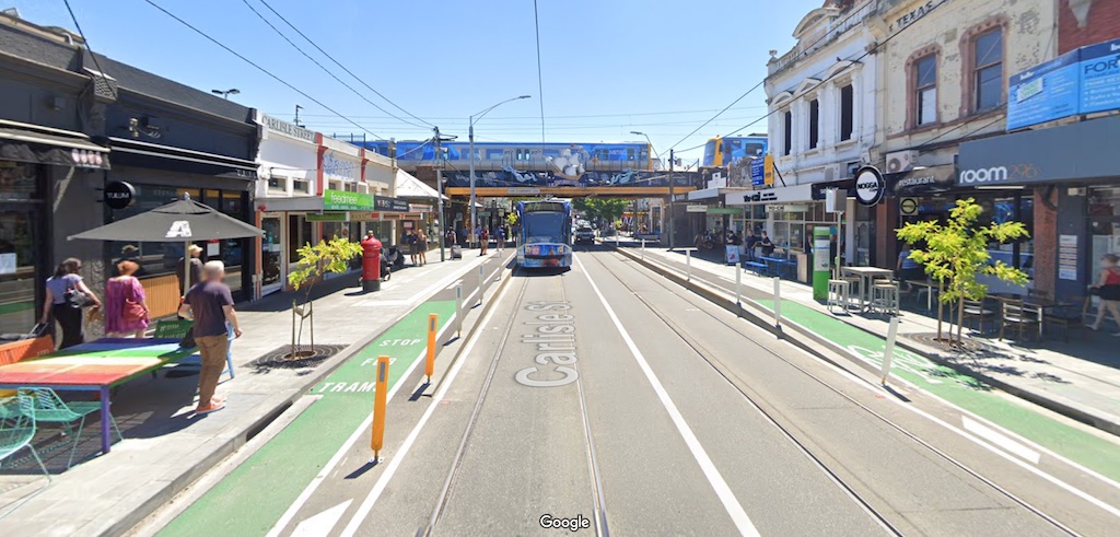
An example of how Bridge Road can look like can be seen from Carlisle Street St Kilda. Note the wider footpaths, and the separated bicycle lane continuing over the Disability Discrimination Act (DDA) compliant level access tram stops. Best-practice bicycle lanes would be wider, e.g. 2 m, and bend behind “floating” tram stops.
Support from VicRoads, the RACV, and Infrastructure Australia
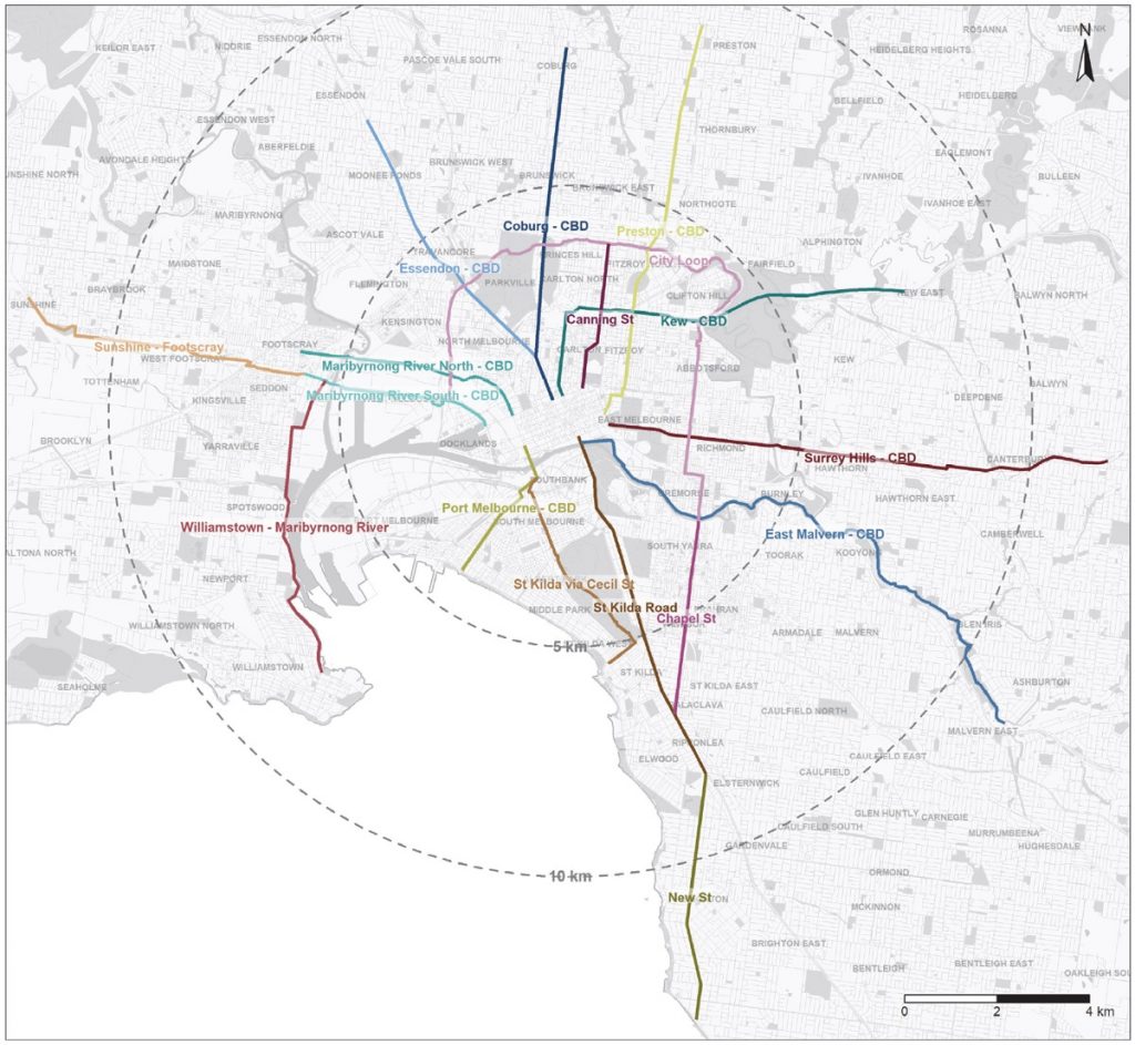
VicRoads have designated Bridge Road as a Strategic Cycling Corridor, the RACV have nominated Bridge Road as a bicycle superhighway, and Infrastructure Australia have included RACV’s proposal for bicycle superhighways in their 2020 Infrastructure Priority List. Both Strategic Cycling Corridors and bicycle superhighways require a protected bicycle lane, capable of carrying a large number of people and enabling them to be used by a wide range of cyclists, not just the brave.
Better for drivers
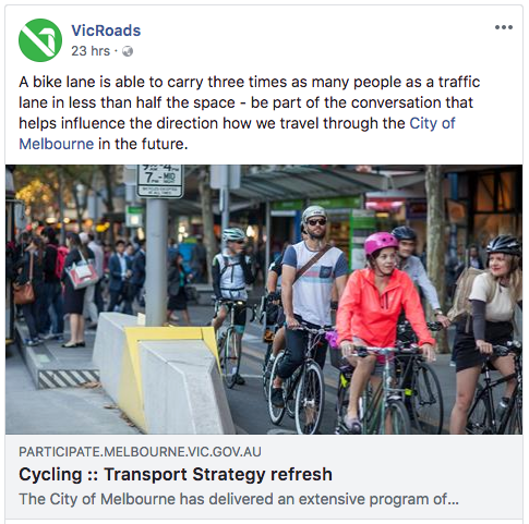
A best-practice bicycle lane can carry more than double the commuters in peak hour than a clearway lane. If more people choose to cycle to the city instead of driving then there is more space in the vehicle lane for cars, which is better for those who need to drive.
Parklets
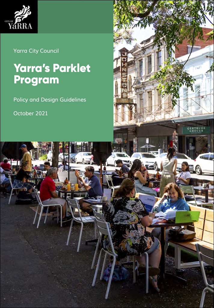
The City of Yarra has adopted a parklet program, enabling traders to occupy a parking bay for outdoor dining.
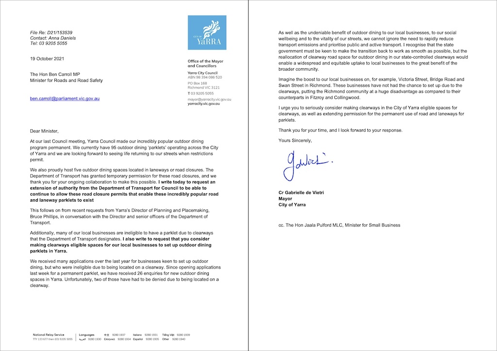
Unfortunately the state government Department of Transport does not allow parklets on declared arterials such as Bridge Road. This places traders on Bridge Road at a disadvantage to those on streets where parklets are permitted, such as Brunswick Street, Gertrude Street and Smith Street. The Mayor has written to the Minister for Roads, asking for parklets to be permitted on arterials. You can support this by emailing the Minister and asking for the same.
Design guides
Learn more from this collection of design guides, including the NACTO Urban Street Design Guide:
How you can help
You can help by appearing on the Streets Alive Yarra website as a champion for your local street, neighbourhood, or school.