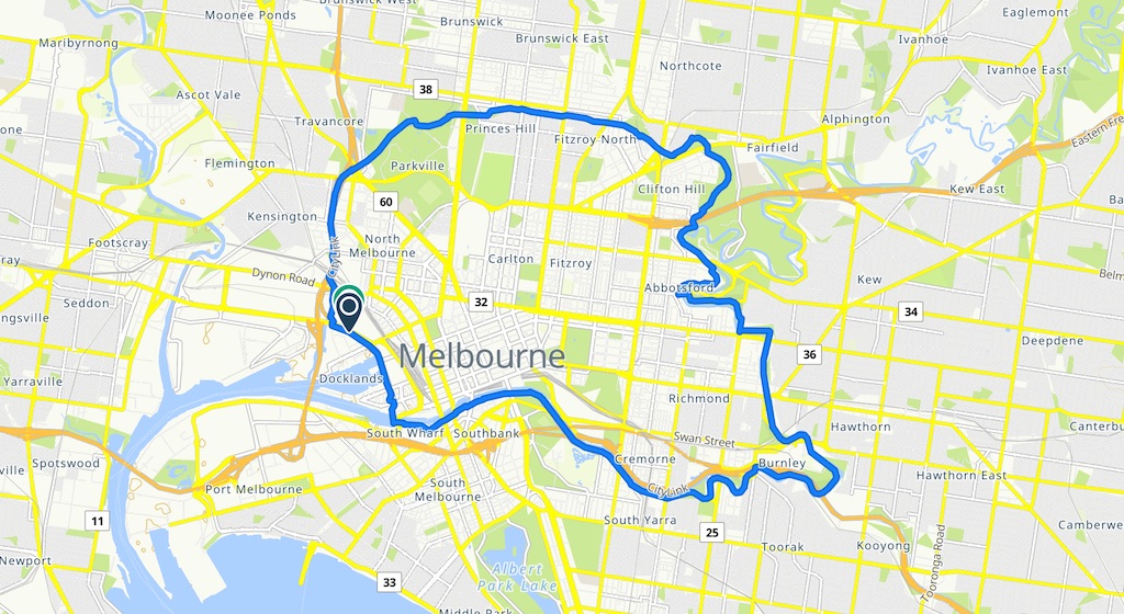
The Capital City Trail is a key park of our active transport network. The route uses elements of the Main Yarra Trail, Merri Creek Trail, Moonee Ponds Creek Trail and the Inner Circle Rail Trail. A key issue for safety and usability is how the trail crosses streets.
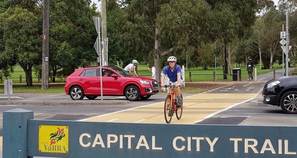
Crossing at Bowen Crescent
On the Capital City Trail, a shared path priority crossing has been installed on Bowen Crescent Princes Hill providing a safe crossing for people walking, jogging and cycling. This improved design makes active transport safe, convenient and enjoyable; key elements of achieving 8 to 80 cities. This crossing sits on the boundary between City of Yarra and City of Melbourne and required cooperation, resources and funding from both Councils. More than 1 million people use the trail each year, as recorded by an electronic counter. Many others walked, jogged, pushed strollers and skateboarded along the path but were not recorded by the electronic counter.
Crossing at Scotchmer Street
Council recently upgraded the crossing at Scotchmer Street, with yellow paint and “Give Way” signs directed at drivers:

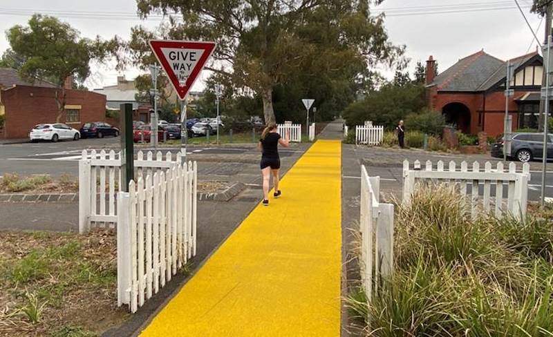
Image credits: Google Maps and Richard Ward.
Crossing at Bennett Street
Council recently upgraded the crossing at Bennett Street in Fitzroy North, with yellow paint and “Give Way” signs directed at drivers::
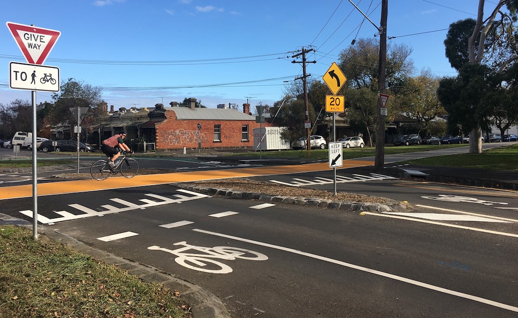
Crossing at Brunswick Street North
Council recently upgraded the crossing at Brunswick Street North, with yellow paint and “Give Way” signs directed at drivers:
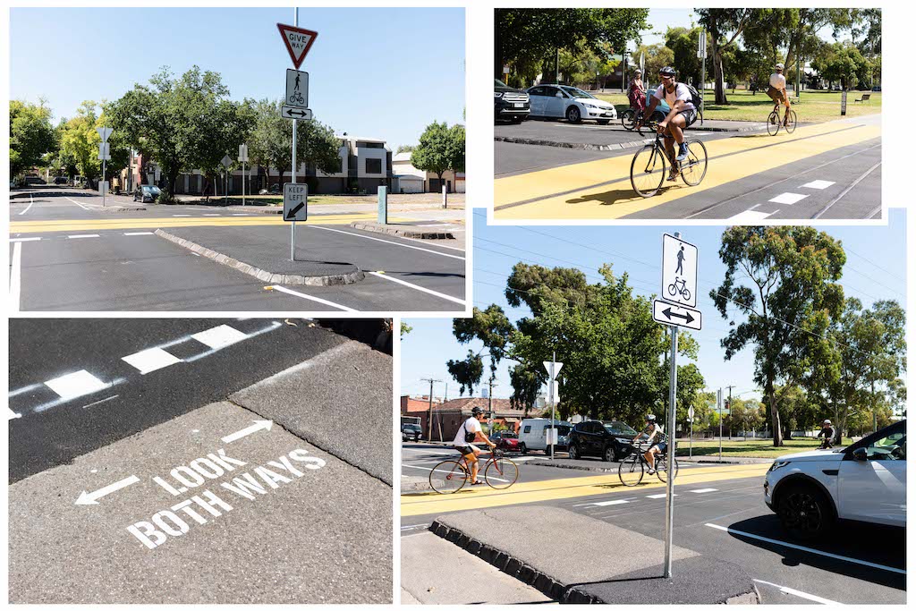
Inconsistent crossing at Rae Street
Council recently upgraded the crossing at Rae Street but oddly did not apply yellow paint or direct “Give Way” signs at drivers. Local residents are asking for the crossing to be consistent with others, thereby enabling safe walking and cycling by the local community and those travelling through Yarra on the Capital City Trail.
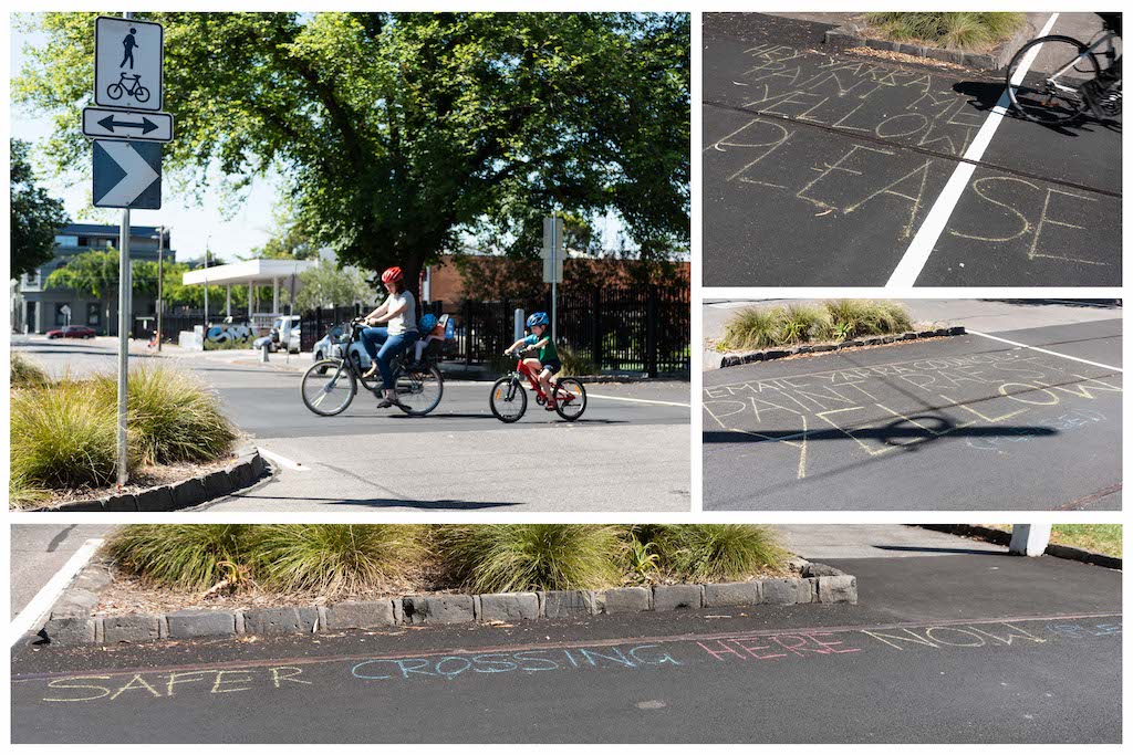
Improving sight lines
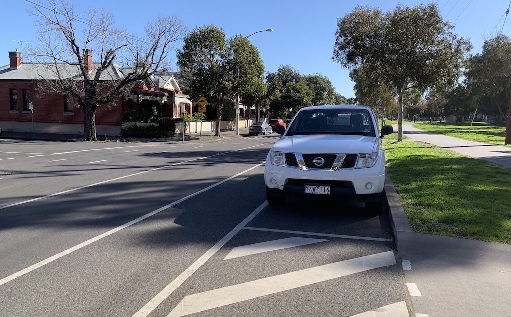
Where the Capital City Trail runs parallel to Park Street, people need to cross to streets such as Drummond, Rathdowne or Canning. The problem is that these crossings have dangerously poor sight lines. The solution is to remove 2-3 car parks from Park Street at each street T-intersection, replacing them with a kerb extension.
