Yarra has long supported walking, biking, and place making
The City of Yarra has a long history of supporting walking, biking, public transport, trees, and place making, dating back to before Yarra was created in 1994, demonstrating that council is responding to broad, long-term community support for such initiatives.
1940s and 1950s
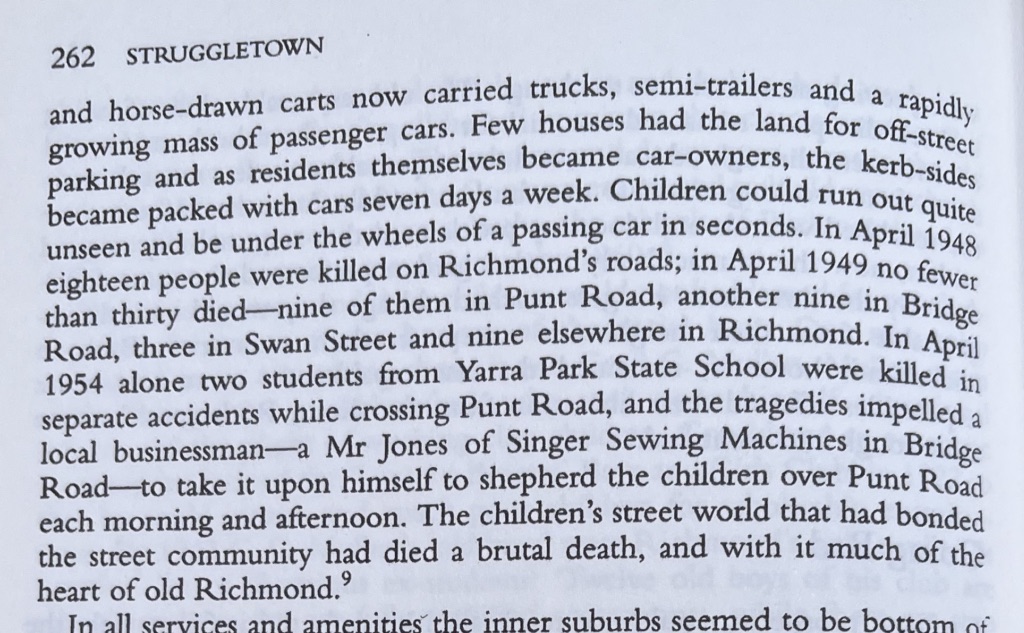
In Struggletown, author Janet McCalman reports on the numbers of children being killed, and efforts to protect children as they crossed the road:
1994
The City of Yarra was established on 22 June 1994, by amalgamating the former Cities of Richmond, Collingwood, and Fitzroy (and some of the former City of Northcote). Democratically elected Councils returned in 1996.
1995
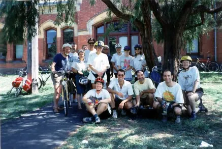
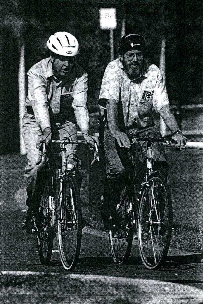
Yarra Bicycle User Group, or YarraBUG, was formed.
In October 1995 the Gardiners Creek Bridge was officially opened to fill the gap in the Yarra Bike Path. YarraBUG supplied some of the cyclists to be first over the bridge for the cameras.
YarraBUG website
1995-96
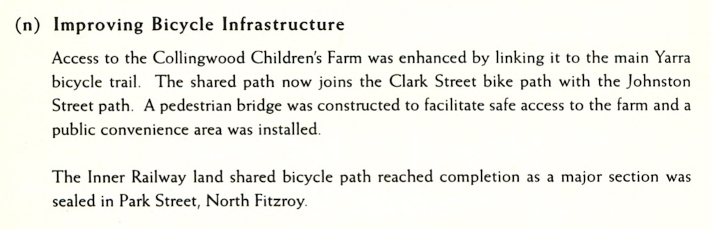
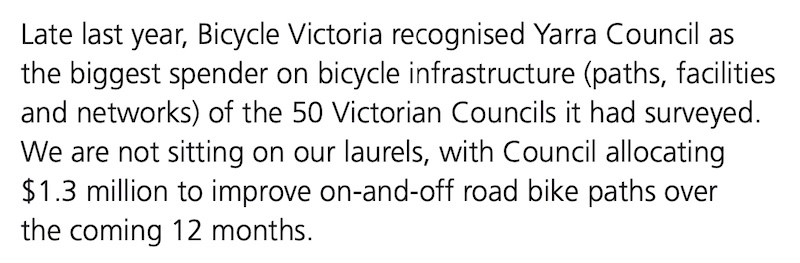
Council invested in bike infrastructure.
1996-97
Council launches the first Yarra Bicycle Map, developed with the Yarra Bicycle Users Group and the Department of Conservation and Natural Resources.
1998-99
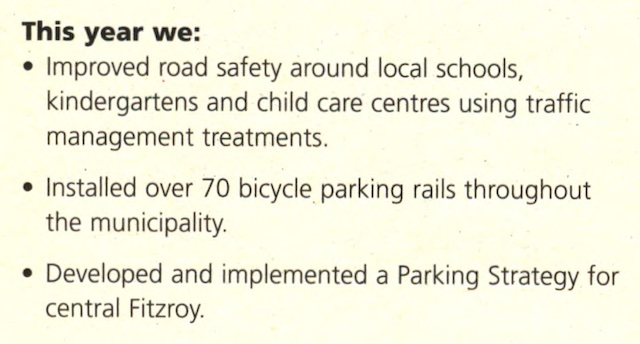
Council invested in traffic management, and developed a parking strategy for Fitzroy.
2000
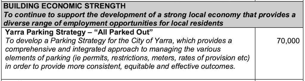
Council announces that Yarra is “All Parked Out”, as it prepares to develop a parking strategy:
2001
Council adopts the ‘Our Future 2010’ vision for the city, including actions to reduce car dependency.
Council is committed to creating a sustainable, safe, convenient, and efficient transport system in Yarra. It is working cooperatively with the State Government to provide effective and high quality access to frequent public transport. This, along with the increased investment in pedestrian and bicycle infrastructure, will contribute to reducing car dependency. Traffic and parking will continue to be managed in a fair and equitable manner that supports a sustainable transport system and Council’s social and economic goals.
Our Future 2010 City Vision
2003-04
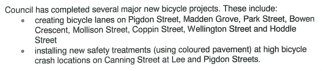
Council completes several new bicycle projects.
2005
Council adopts a policy to encourage and increase walking:
2006
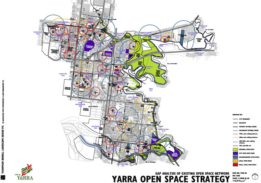
Council adopts an Open Space Strategy with a gap analysis, showing where new open space is required.
2008-09
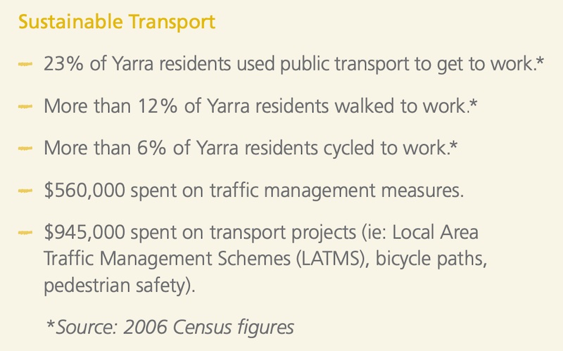
We continue to strongly encourage alternatives to car travel, by providing practical measures including improved bicycle paths and bicycle parking hoops. Our bike network has been expanded with record numbers of people using bicycles as their primary mode of transport to and from work. We are making our streets more ‘walkable’ through upgrading footpaths and crossings, and landscaping.
Excerpt from 2008-09 Annual Report
2009
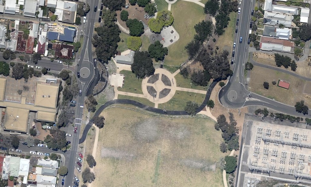
Council converted a section of Barkly Avenue into green open space, to join two halves of the park.
2009-10
Council continues to advocate for reducing the speed limit on local streets to 40 km/h to make Yarra safer for residents and road users…The City of Yarra now has 40 km/h speed limits in 70% of streets across the municipality…
Excerpt from 2009-10 Annual Report, highlighting focus on traffic calming.
2010-11
…The City of Yarra now has 40 km/h speed limits in 80% of streets across the municipality…
Excerpt from 2010-11 Annual Report, highlighting focus on traffic calming.
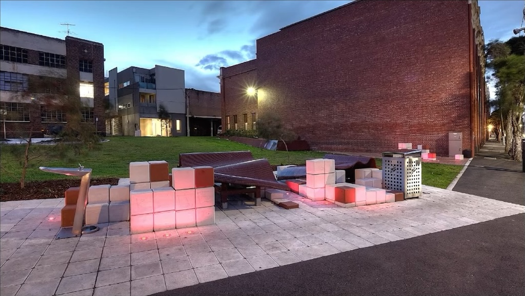
Council opened the Peel Street pocket park.
2011-12
2013
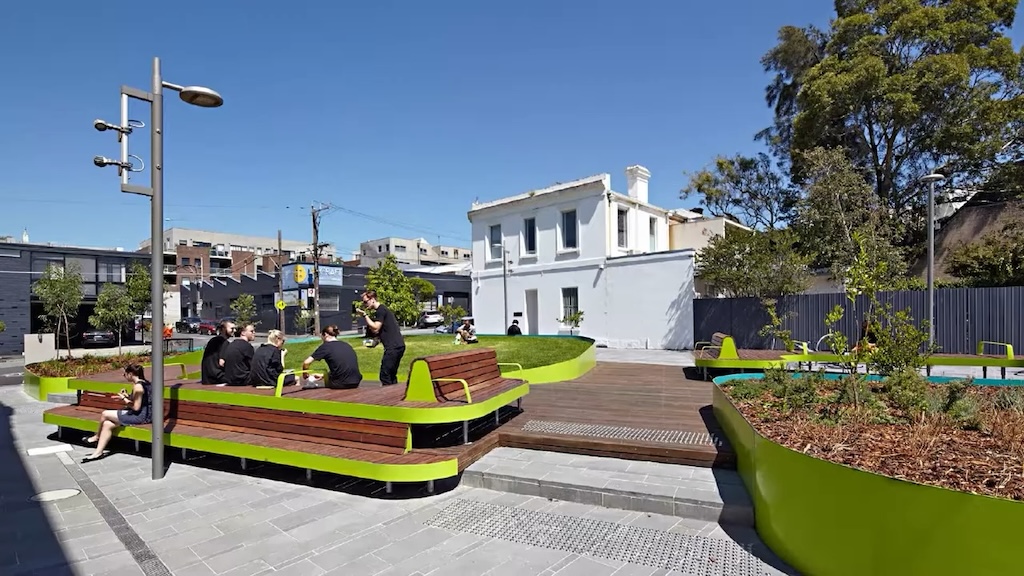
Council opened the Oxford Street pocket park.
2013-14
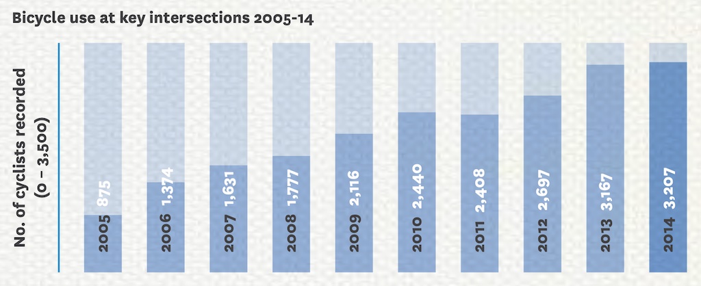
Yarra commissioned an annual count of the number of cyclists…there has been a clear annual expansion of cycling in Yarra since 2005.
Excerpt from 2013-14 Annual Report.
2014-15
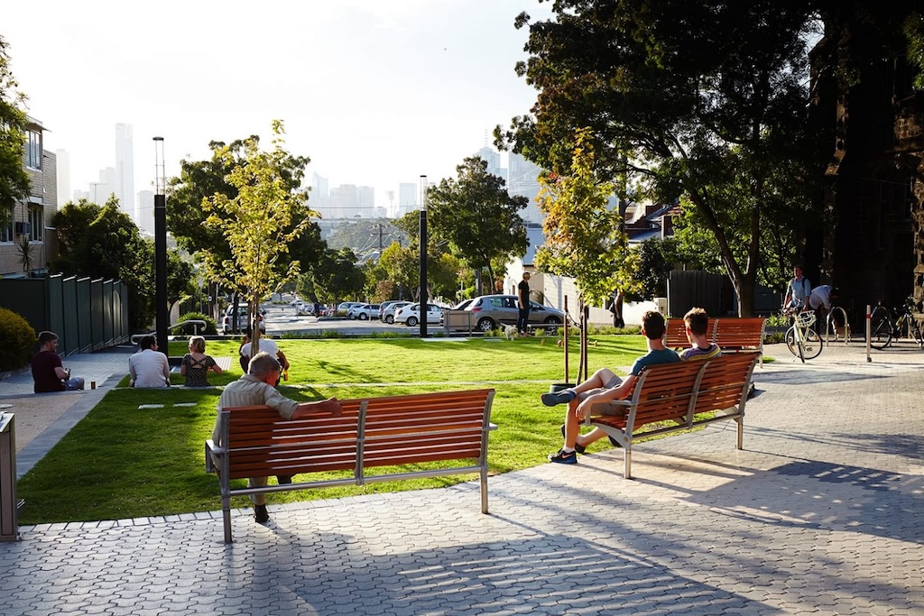
Council opened the Richmond Terrace pocket park:
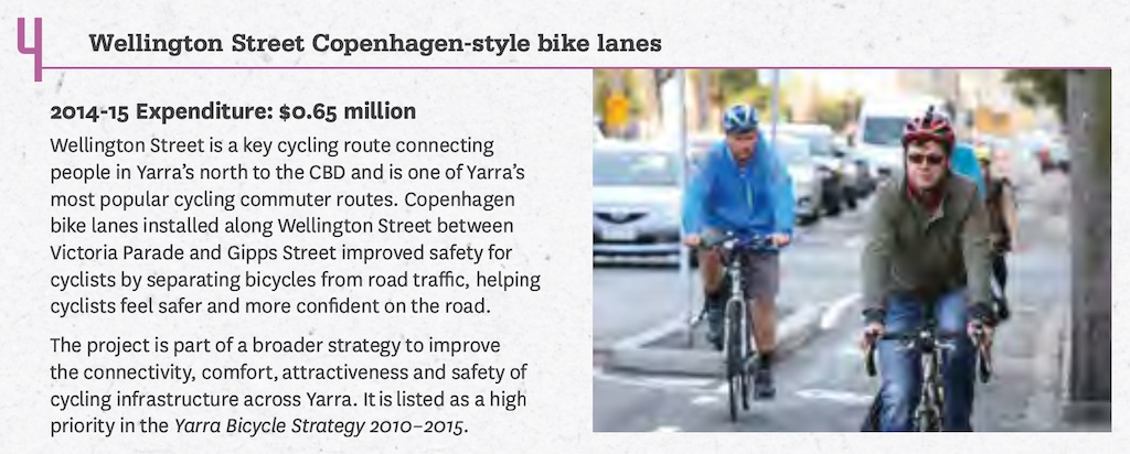
Council constructs protected bike lanes on the southern section of Wellington Street, Collingwood.
2018-19
Council conducts a trial of 30 km/h in the northern areas of Fitzroy and Collingwood.
2019-20
Council extends protected bike lanes on Wellington Street, Collingwood.
2020-21
Council begins a trial of protected bike lanes on Elizabeth Street, Richmond.
2022
Council adopts an ambitious, evidence-based transport strategy:
2023
Council voted to make the Elizabeth Street bike lanes permanent, expanded the 30 km/h trial to cover all of Collingwood and Fitzroy, and opened the expanded Cambridge Street Reserve:
2024
Council opened the Otter Street pocket park:
How you can help
You can help by appearing on the Streets Alive Yarra website as a champion for your local street, neighbourhood, or school.