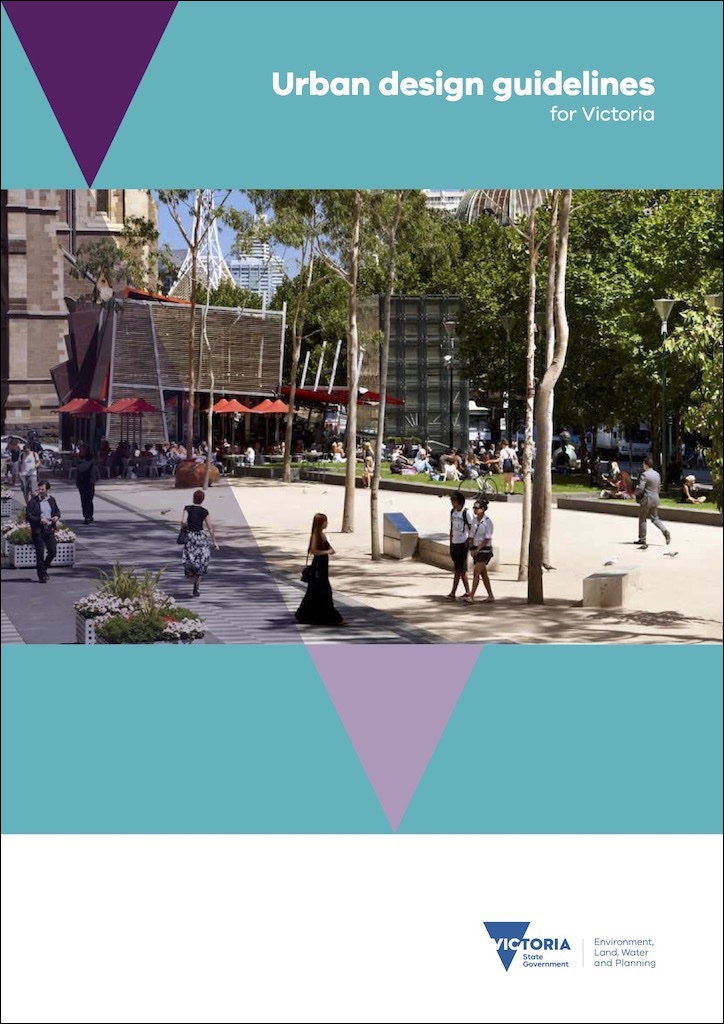
The Victorian state government published urban design guidelines in 2017, to:
support state agencies, local government and the urban development sector to deliver, functional and enjoyable places for people to live, work, and spend leisure time. The guidelines aim to create neighbourhoods that foster community interaction and make it easy for people of all ages and abilities to live healthy lifestyles and engage in regular physical activity.
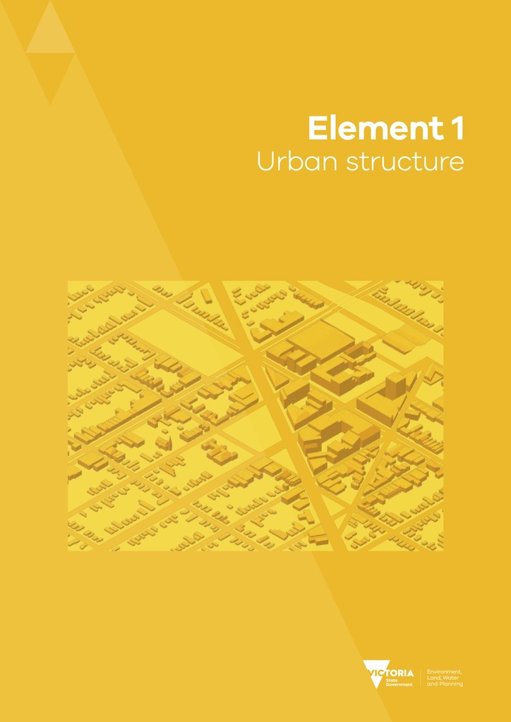
Urban design guidelines
The guidelines offer many recommendations on how we design our public realm, including support for walking and cycling within 20-minute neighbourhoods. Many of the recommendations have been reflected in Council’s proposed Amendment C269 to the Yarra Planning Scheme.
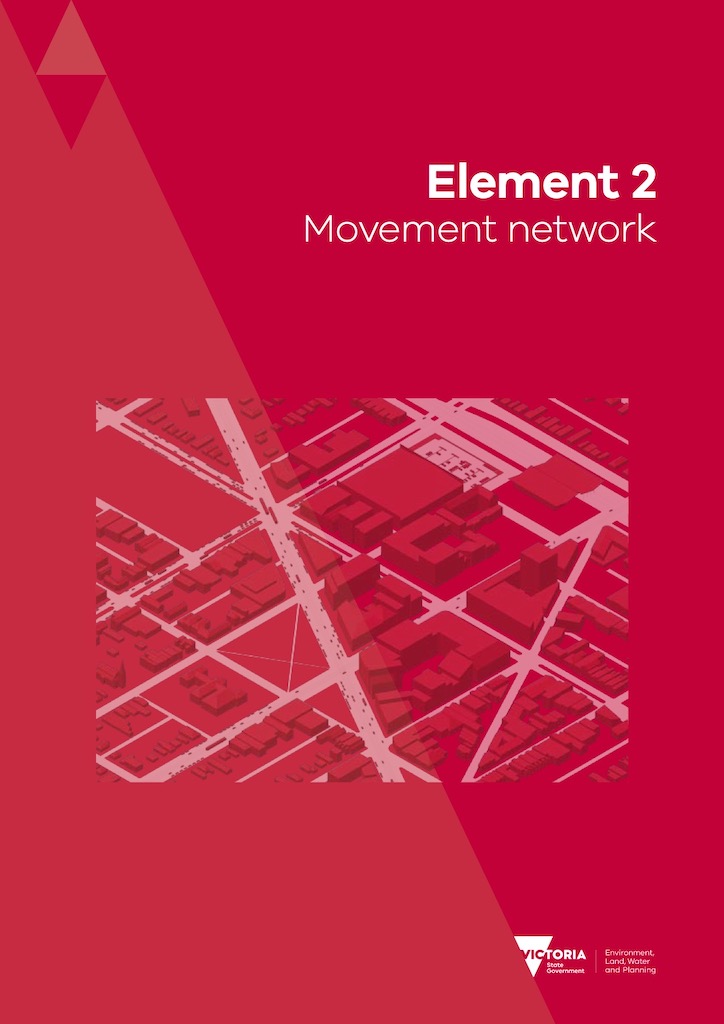
The movement network is the interconnected system of streets, roads and paths that accommodates pedestrians and cyclists, on-road public transport, emergency and private vehicles. The movement network connects places and activities, and allows people and goods to reach their intended destinations and to access private land.
Urban design guidelines – movement network
A well-functioning movement network provides optimal walking and cycling access to destinations such as activity centres, work, schools, public transport and parks, and it has high levels of legibility, convenience, amenity and safety for users.
Urban design guidelines – movement network
Convenient, safe and comfortable pedestrian and bicycle paths are a valuable part of the movement network, and act as more than just thoroughfares. Footpaths are multi-use environments where people socialise, conduct business and observe the world around them as well as travel from one place to another on foot. Pedestrian and bicycle paths are also very important in enabling people to be physically active.
Urban design guidelines – movement network
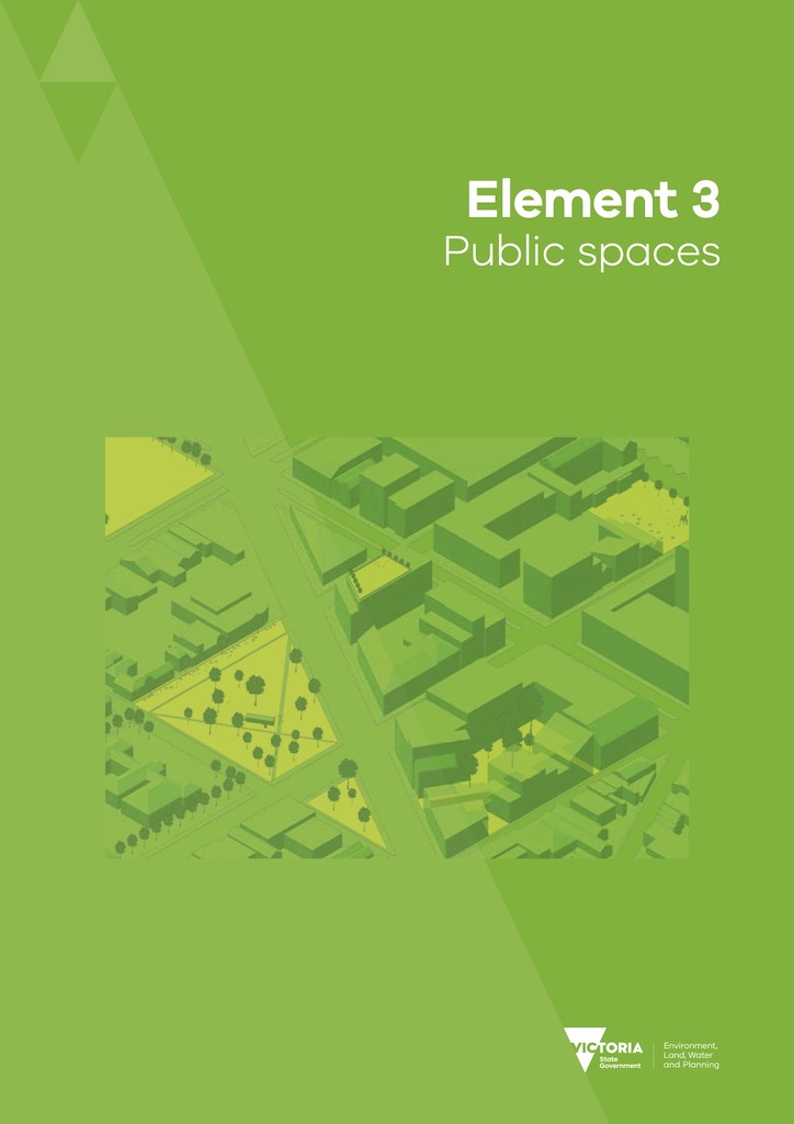
Streets are the predominant and most frequently used public spaces in any city. Street spaces and plazas link with the movement network, allowing people to use them as through routes as well as places to linger and socialise. They usually have places for people to sit, eat their lunch, find some sun or shade, get out of the cold wind or rain, chat with friends or watch their children play. They also provide opportunities for people to observe the world around them.
Urban design guidelines – public spaces
Just some examples include:
- Objective 1.5.1 To ensure a public realm structure where the movement network and the land uses support each other
- Objective 1.5.4 To ensure a public realm structure where streets support the amenity and function of neighbourhoods
- 1.5.4d Provide space within the street for trees, landscaping and to accommodate social activities and utility infrastructure.
- Objective 2.1.1 To ensure the movement network accommodates the diversity of transport modes and supports activities, including active transport
- 2.1.1a Provide direct, continuous and well-lit pedestrian and bicycle routes.
- 2.2.1b Provide a pedestrian network that caters for persons of all abilities.
- 2.2.1c Provide for walking and cycling on all streets.
- Objective 2.1.3 To maintain a safe, inclusive and serviceable movement network
- Objective 2.2.1 To ensure pedestrian priority streets maximise the convenience and safety of walking and cycling modes
- 2.2.1b Allocate a greater portion of street space to pedestrians and cyclists.
- Objective 2.3.1 To ensure effective pedestrian and bicycle path connections to destinations
- 2.3.1e Where high levels of cyclists are predicted, locate kerb separated bicycle lanes on the kerbside of an on-street parking lane.
- Objective 2.3.2 To ensure pedestrian and bicycle paths are accessible and serviceable
- 2.3.2b Allow for wider paths in areas with high levels of pedestrian or bicycle use or where growth in traffic is anticipated.
- Objective 2.3.4 To ensure pedestrian and bicycle paths provide safety for pedestrians and cyclists on vehicle crossovers
- 2.3.4c Provide path treatments across vehicle crossovers to signal priority for pedestrians and cyclists.
- Objective 2.3.6 To ensure pedestrian and bicycle path management responds to changes in use patterns
- 2.3.6a Monitor pedestrian and cyclist numbers and safety on paths to inform future improvements to pedestrian and bicycle paths.
- Objective 2.5.1 To ensure the safety and amenity of pedestrians and cyclists along major roads
- 2.5.1a Provide separate paths for pedestrians and cyclists travelling beside major roads.
- Objective 2.7.5 To manage on-street parking efficiently and equitably
- 2.7.5d Allocate on-street parking spaces for use by Carshare programs in accessible, well-frequented locations with opportunities for informal surveillance.
- Objective 4.1.1 To ensure convenient pedestrian and bicycle access to railway stations and public transport interchanges
- 4.1.1a Provide continuous, direct pedestrian and bicycle access routes from the surrounding neighbourhood to railway stations and public transport interchanges.
- Objective 4.2.1 To integrate the railway station with the surrounding area
- 4.2.1a Arrange railway station forecourts as a key part of the public space system and movement network. (i.e. don’t surround the station with car parking)
- Objective 5.1.1 To ensure the building scale and form supports the context and preferred future character of the activity centre
- 5.1.1d Use the building height and setbacks to frame the street space as a public space.
- Objective 5.3.2 To support safe and direct pedestrian and cyclist access to large format retail premises
- 5.3.2.a Provide convenient and direct pedestrian and cyclist access from a large format retail premises to public transport stops and to the surrounding area.
Our view
Streets Alive Yarra congratulates the state government on these urban design guidelines, and urges the City of Yarra to consider them when designing our streets and considering applications for planning permits for new developments.
Published 19th November 2020