Murphy Street

Murphy Street is an east-west residential street in Richmond:
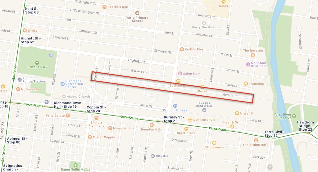
Location of Murphy Street. Image credit: Apple Maps, highlight from Streets Alive Yarra.

Pocket park at Coppin Street

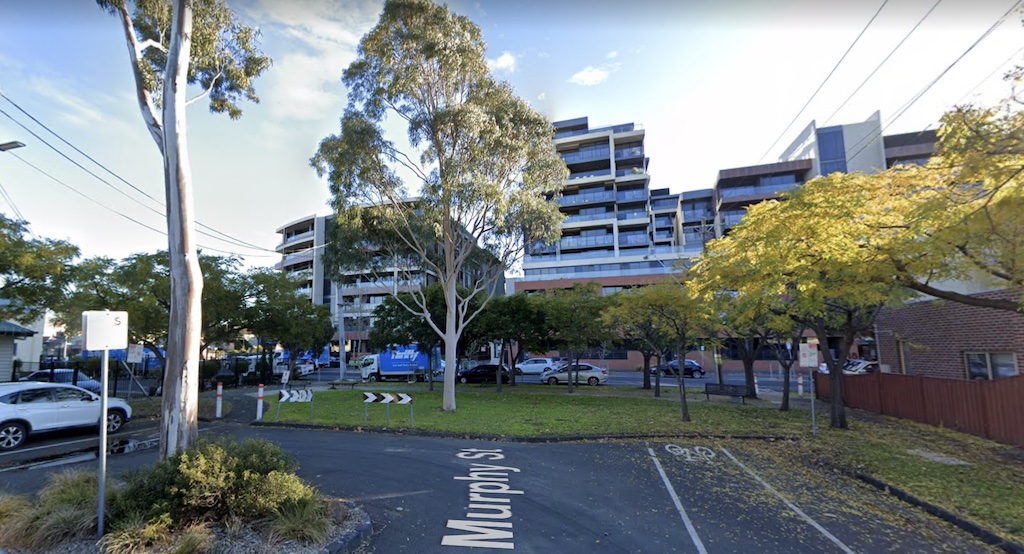
At the intersection with Coppin Street, council has closed the street and reallocated space to create a pocket park. The park could be expanded by 260 m2, without removing access to any lanes or driveways.

Murphy Street pocket park. Image credit: Google Maps.
Proposal to expand the park by 260 m2. Image credit: Nearmap.

Modal filter at Burnley Street

A model filter and some greenery has been added at the intersection with Burnley Street, to reduce through-traffic along Murphy Street. The modal filter could be expanded into a 340 m2 pocket park without removing access to any lanes or driveways.

Modal filter on Murphy Street at Burnley Street. Image credit: Google Maps.
Proposal to expand the modal filter into a pocket park. Image credit: Nearmap.