
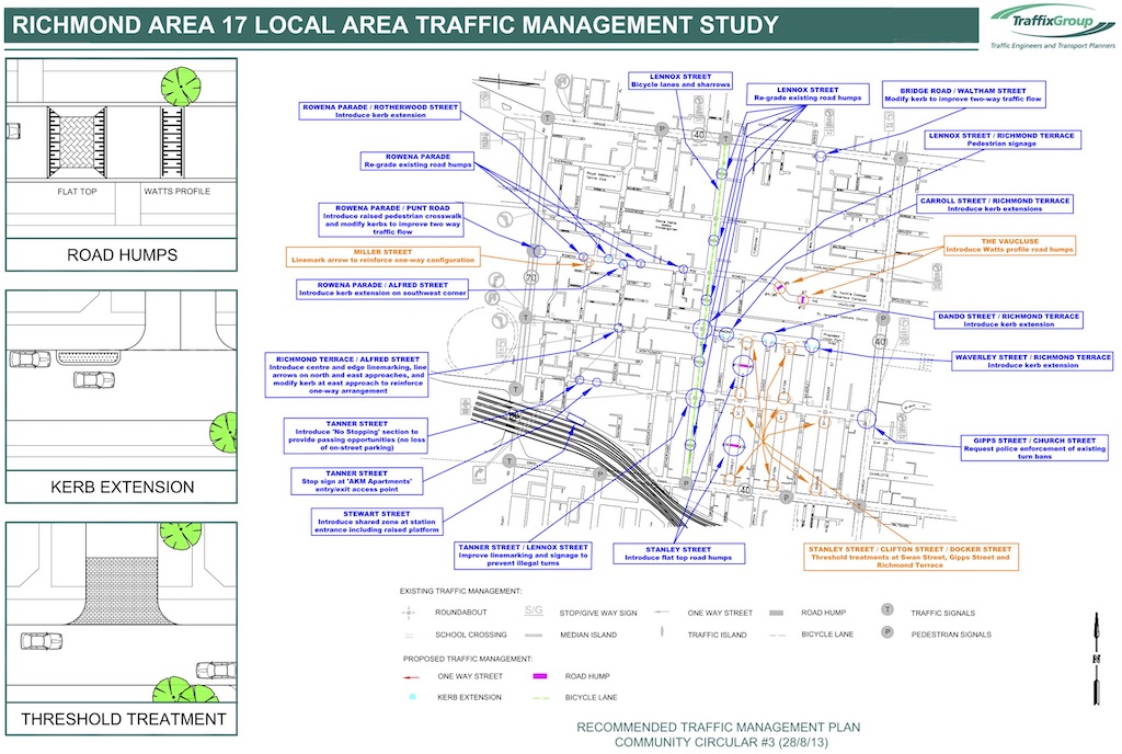
Richmond is designated as Council’s Local Area Place Making (LAPM) precinct #17, bounded by Hoddle Street, Bridge Road, Church Street, and Swan Street.

Context
Richmond was last reviewed in 2013. LAPM reviews are a once in a decade opportunity to persuade Council to invest decent money in infrastructure such as a 30 km/h zone, wider footpaths, protected bicycle paths, trees, pocket parks or street closures.
Richmond has a Walk Score of 90, making it the 12th most walkable suburb in Melbourne. Of course, it can still be improved.
Problems
As with most local streets in Yarra, streets in Richmond suffer from high traffic volumes and traffic speeds, dissuading children from cycling to school or sport. Many footpaths are too narrow, or too sloping, to be useable for our increasing population.
Solutions
One way to improve liveability, accessibility, place making and active transport is to convert the whole LAPM area into a 30 km/h superblock.

Stewart Street
In 2018, after safety concerns had been expressed by the community, Stewart Street was transformed into a shared zone. This shows that upgrades can and do occur outside of the normal once-in-a-decade LAPM process.
How you can help
You can help by appearing on the Streets Alive Yarra website as a champion for your local street, neighbourhood, or school.